
India state highlight map animation
Name one or more states. India appears, the camera flies to each one, fills it and labels it, then pulls back to show them all.
Runs in your browser. Nothing is uploaded.
H.264 MP4, 30 fps, silent.
State boundaries: DataMeet India community, CC BY 4.0, github.com/datameet/maps
How to make an india state highlight map
- 1Type the states in the order you will say them: English or Hindi names, or codes like MH.
- 2Choose whether the camera flies to each state or stays on the whole of India.
- 3Add a short headline and a number if the moment needs one, and pick the colour and look.
- 4Download the MP4 and cut it into your video where you name the states.
What editors use it for
Explainers like Dhruv Rathee’s
Fly to the state you are talking about the moment you name it, then pull back to show where it sits in India.
Elections and policy
Light the states where a scheme launched or a party won, with the count as the number.
Travel and regional channels
Show the route of a trip state by state, or the states a dish, language or festival comes from.
India map mein state highlight kaise kare
States ke naam usi order mein likhiye jis order mein aap video mein bolenge. Hindi naam likhenge to label bhi Hindi mein aayega.
"Fly to each state" chuniye: camera har state par jaata hai, state colour se bhar jaata hai, aur end mein poora India dikhta hai.
Headline aur number optional hain. MP4 download karke CapCut ya VN mein us jagah lagaiye jahan aap state ka naam lete hain.
Questions
How long should the clip be for several states?
About 1.6 seconds per state plus 3 seconds, so three states need at least 8 seconds. The last 28% of the clip (never less than 2 seconds) is the pull back that shows all the states together.
Can I highlight more than six states?
Yes, choose "Stay on India". The camera stays on the whole map, up to 12 states fill one after another, and each one flashes in turn. Flying to each state is kept to six so every stop is long enough to read.
Is the map of India correct?
It uses India’s official boundary in every frame, including all of Jammu and Kashmir and Ladakh with Pakistan-occupied Kashmir and Aksai Chin, and all of Arunachal Pradesh. Ladakh and Jammu and Kashmir are drawn as the two union territories formed in 2019.
Can I show a city instead of a state?
Not in this tool. It highlights the 36 states and union territories, including Delhi, Chandigarh, Puducherry and Lakshadweep. A name it does not know is refused with the closest state names.
Do I need to credit anyone?
The state lines come from the DataMeet India community under CC BY 4.0. Put the credit line shown under the tool in your video description. There is no watermark on the video.
Tools that go with this
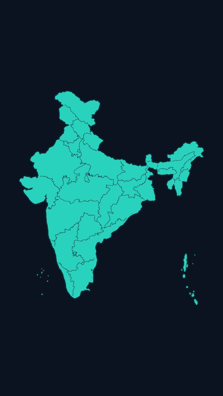
India’s outline draws itself, then every state appears, with names if you want them.
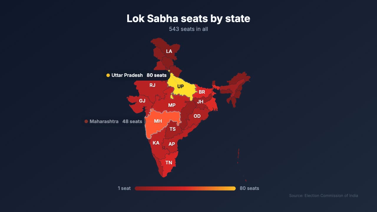
Paste a number per state and get an India map coloured by value, with a legend.
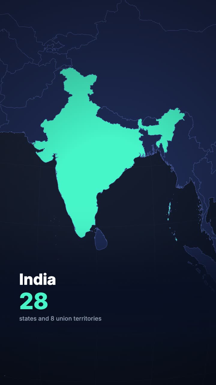
A globe turns and dives to the country you name, then fills it with your headline.
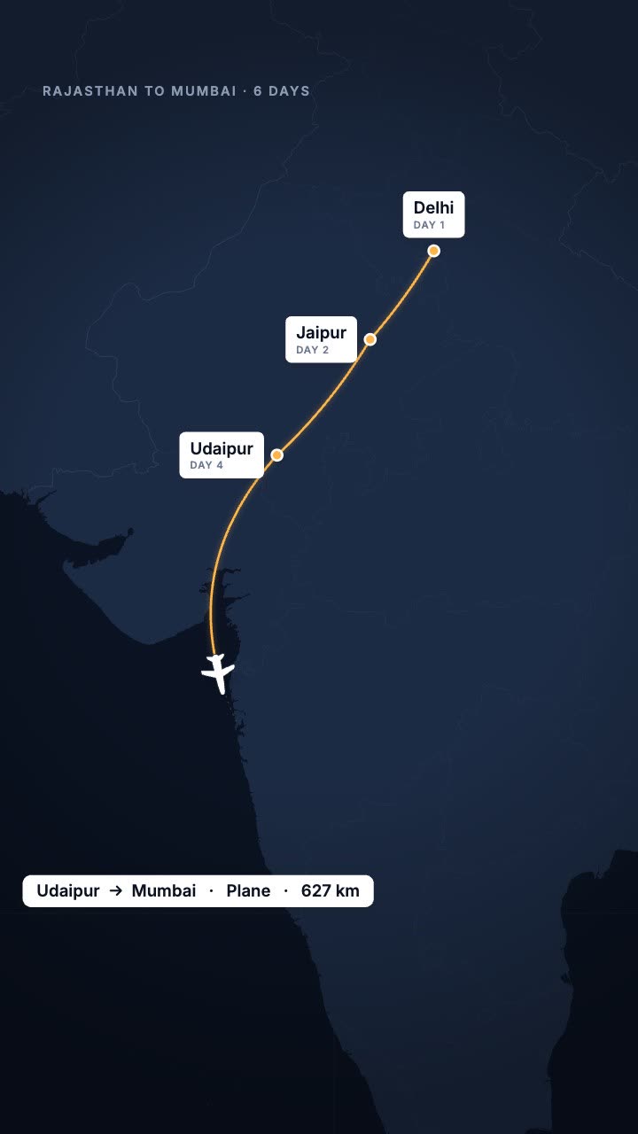
Your trip as a route map: the line draws city to city and a plane, train or car follows.
More maps tools: Map pin drop animation · Flight path animation on a globe · Country map animation maker
In Headroom: AI Edits: motion graphics placed on your video for you