
Travel map animation maker
Type your stops in order and pick how you travelled each leg. Download a travel map video with the route drawing on.
Runs in your browser. Nothing is uploaded.
H.264 MP4, 30 fps, silent.
State boundaries: DataMeet India community, CC BY 4.0, github.com/datameet/maps
How to make a travel map animation
- 1Type the places in the order you went, two to six of them. Add a short fact after a dash if you want a second line on the card.
- 2Pick how you travelled each leg: plane, train, car, bus, boat or walk.
- 3Choose a map look, the camera and the length. Longer legs get more time on their own.
- 4Download the MP4 and cut it into your vlog where you talk about the route.
What editors use it for
Travel vlogs and Reels
Open the video with the whole route, or cut to it between cities so viewers know where you are.
Trip itineraries
Show a tour plan day by day: the second line of each card holds "Day 2" or "2 nights".
Wedding and family trips
Draw the drive from home to the venue and on to the honeymoon, with the right vehicle on each leg.
Explainers and history
Trace a journey across India or the world, from a yatra route to a famous flight.
Travel map animation kaise banaye (free, phone ke liye bhi)
Apne trip ke shehar order mein likhiye, jaise Delhi, Jaipur, Udaipur, Mumbai. Har leg ke liye plane, train, car, bus, boat ya walk chuniye.
Map ka look aur video ki length chuniye, phir MP4 download kijiye. Route khud draw hota hai, gaadi us par chalti hai aur har shehar par pin girta hai.
CapCut, VN ya InShot mein is clip ko apne vlog mein wahan rakhiye jahan aap route ki baat karte hain. Koi watermark nahi, koi login nahi.
Questions
Which places can I put on the travel map?
About 1,200 places: every Indian city in the Natural Earth list, large world cities and every capital, plus the 36 Indian states and union territories and every country. Old names like Bombay or Gurgaon work. Smaller towns such as Manali are not in the list yet, so type the nearest city or the state instead. If a name is not found, the tool suggests close matches.
How is India drawn on this map?
With its official boundary: all of Jammu and Kashmir and Ladakh, including Gilgit-Baltistan, Muzaffarabad and Aksai Chin, and Arunachal Pradesh in full. Country outlines are Natural Earth with the India point of view. State lines are from the DataMeet India community (CC BY 4.0), based on the Survey of India map.
What does the distance in the caption mean?
It is the straight-line distance between the two places in kilometres, not the road or rail distance. Turn the leg caption off if you would rather say the real distance yourself.
How long should the video be?
Longer legs get more time, so a Delhi to Mumbai flight takes longer than Delhi to Jaipur. Four stops need about 10 seconds at the fastest pace. If the length you pick is too short the tool tells you the minimum, and extra time becomes a longer hold on the finished route.
Can the stop names be in Hindi?
Yes. Hindi city names such as जयपुर are recognised, and the card shows the name the way you typed it. The short fact after the dash can also be in Hindi or Hinglish.
Tools that go with this
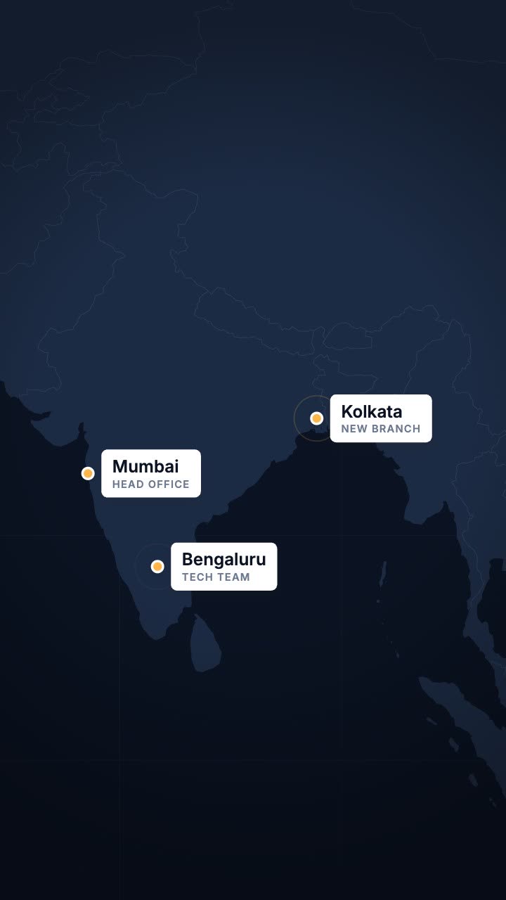
Location pins drop onto places with a pulse and a name card, on a map or transparent.

A world map that flies to the place you name, lights it and labels it.
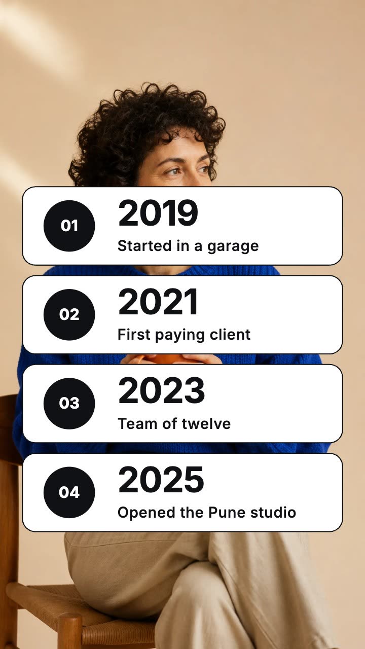
Dated rows that land one by one over your footage.
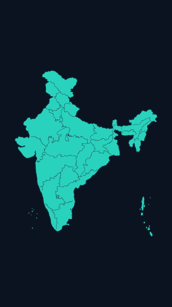
India’s outline draws itself, then every state appears, with names if you want them.
More maps tools: India state highlight map animation · India state-wise data map animation · Earth zoom animation to any country · Flight path animation on a globe
In Headroom: AI Edits: motion graphics placed on your video for you