
Earth zoom animation to any country
Type a country. Download a clip where the earth turns and zooms into it, the country lights up and your words appear.
Runs in your browser. Nothing is uploaded.
H.264 MP4, 30 fps, silent.
State boundaries: DataMeet India community, CC BY 4.0, github.com/datameet/maps
How to make an earth zoom to country
- 1Type the country, such as India, Japan or Canada. For India, you can add a state to zoom into next.
- 2Write a headline and, if you like, a number with a short line under it.
- 3Pick a look and a fill colour, and set the second the zoom lands to match your voice.
- 4Download the MP4 and place it in your edit where you name the place.
What editors use it for
Explainers and news
Open a story about a country or a state with the earth turning and zooming in, so viewers know where it happens.
Travel and moving abroad
Show the country you are flying to or moving to before the footage of the trip.
Facts and numbers
Land on a country and show one number, such as population, states or a price, next to it.
Earth zoom animation kaise banaye
Country ka naam likhiye, jaise "India" ya "Japan". Globe ghoomkar us desh par zoom karta hai, desh ko rang se bharta hai aur aapki headline dikhata hai.
India ke baad kisi state par zoom chahiye to "state" mein Kerala, Punjab ya Delhi likhiye. MP4 download karke CapCut, VN ya InShot mein us jagah lagaiye jahan aap jagah ka naam bolte hain.
Questions
How is India drawn on the globe?
With its official boundary as the Government of India and the Survey of India publish it: the whole of Jammu and Kashmir and Ladakh, including Gilgit-Baltistan, Muzaffarabad and Aksai Chin, and Arunachal Pradesh in full. Every other country on the globe comes from the same India point of view data.
Can it zoom from India into a state?
Yes. Type India as the country and a state or union territory, such as Kerala, Uttar Pradesh, Delhi or Ladakh. After India fills, the map flies on to the state, draws the state lines and fills it while the rest of India dims. The clip then needs to be at least about 10 seconds.
How long is the zoom, and when does it land?
The globe starts turning on the first frame and the zoom lands between 2.5 and 3 seconds in, at the second you choose. The country fills over 0.6 seconds, the headline appears 0.4 seconds later and the number 0.8 seconds after that. The finished frame holds for at least 2 seconds.
Where do the map shapes and the motion come from?
Countries are Natural Earth 5.1.1 (public domain) in its India point of view; state boundaries are from the DataMeet India community (CC BY 4.0). The globe turn is the d3 World Tour example (ISC), the zoom, fill and type timing follow Tella's open country-highlight skill (MIT), and the Space look is from the open rudywizz map-route style (MIT).
Is there a green screen or transparent version?
No. This clip is a complete shot with its own background (space, dark or light), made to cut to between talking parts. For a map card that sits over your video, use the country map animation tool.
Tools that go with this

A world map that flies to the place you name, lights it and labels it.
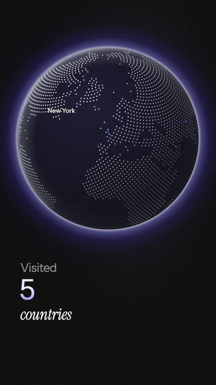
Flight arcs fly city to city on a globe, with pins, names and a counter.

A number that counts up from zero and lands on your figure.
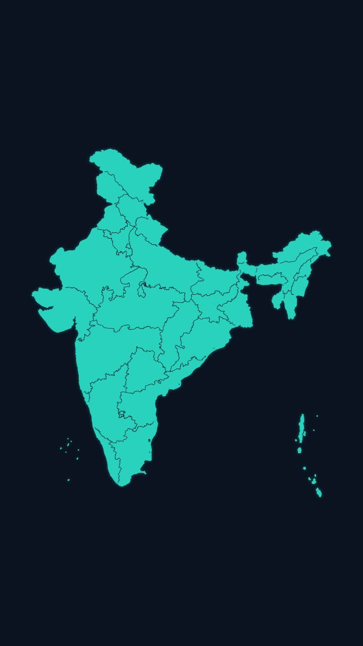
India’s outline draws itself, then every state appears, with names if you want them.
More maps tools: India state highlight map animation · India state-wise data map animation · Travel map animation maker · Map pin drop animation
In Headroom: AI Edits: motion graphics placed on your video for you