
Flight path animation on a globe
Type your cities in order. Download a globe where flights arc between them and a counter adds up the countries.
Runs in your browser. Nothing is uploaded.
H.264 MP4, 30 fps, silent.
How to make a flight path globe
- 1Type the places you travel to, one per line, in order: cities like Mumbai, Dubai and London, or countries.
- 2Pick the dotted globe or the bordered globe with a plane, and a route colour.
- 3Set the counter words, such as "Visited" and "countries", or turn the counter off.
- 4Download the MP4 and cut it into your travel video or reel.
What editors use it for
Travel recaps
Sum up a trip or a year of travel: every flight arcs across the globe and the country count adds up.
Business reach
Show where a company ships, hires or has customers, one city after another, with a counter of markets.
Study and work abroad stories
Trace the move from your home city to the city you study or work in, with stops on the way.
Flight path animation kaise banaye
Apne shehar order mein likhiye, ek line mein ek: jaise Mumbai, Dubai, London. Globe par har shehar se agle shehar tak flight ka arc banta hai aur naam aata hai.
Counter mein "Visited" aur "countries" likhiye: har landing par number badhta hai. MP4 download karke CapCut ya VN mein apni travel reel mein lagaiye.
Questions
Which places can I type?
About 1,200 cities: every Indian city in Natural Earth plus the world's large cities and all capitals, by their common names or older spellings (Bombay, Bangalore, Gurgaon). A country name works too and lands at the middle of the country. Between 2 and 7 places, in the order you travel.
What does the counter count?
With the final number at 0 it shows how many different countries your route has reached so far, so it starts at 1 and goes up as each flight lands in a new country. Type any other number and it counts up to it, one step per landing, as in "Covered 6 cities".
Does the globe show India with its official border?
The bordered globe draws every country from Natural Earth's India point of view data, so India has its official boundary: all of Jammu and Kashmir and Ladakh, including Gilgit-Baltistan and Aksai Chin, and Arunachal Pradesh in full. The dotted globes draw land as dots with no borders at all.
How long should the clip be?
On the dotted globe a new flight starts every two thirds of a second and each takes about a second, so five places need about 6 seconds and the clip asks for more if needed. On the bordered globe the camera follows each flight, so give it about 1.5 seconds per flight plus 2 seconds.
Where do the designs come from?
The dotted globe is the open-source Remocn dot globe (MIT), the bordered globe and its camera are from the open rudywizz map-route style (MIT), and the plane with its shadow is from TripTrail (MIT). Map data is Natural Earth, which is in the public domain.
Tools that go with this
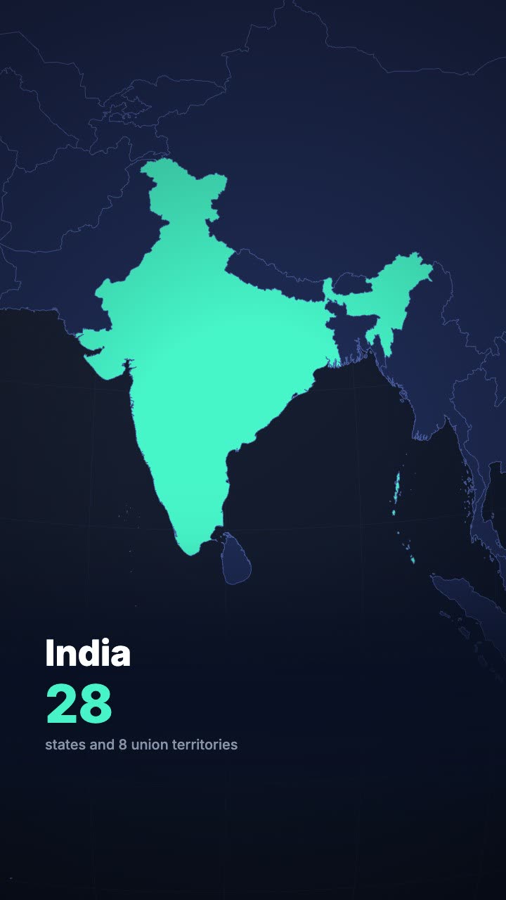
A globe turns and dives to the country you name, then fills it with your headline.

A world map that flies to the place you name, lights it and labels it.

A number that counts up from zero and lands on your figure.
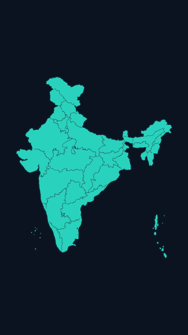
India’s outline draws itself, then every state appears, with names if you want them.
More maps tools: India state highlight map animation · India state-wise data map animation · Travel map animation maker · Map pin drop animation
In Headroom: AI Edits: motion graphics placed on your video for you